


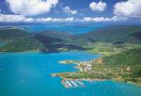
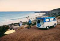
Carte de la Tasmanie
Carte interactive de la Tasmanie
Zoommer pour découvrir les principales villes et points intérêts touristiques.
![]() : Région, ou zone touristique. Cliquer sur le titre du repère pour accèder à la page dédiée
: Région, ou zone touristique. Cliquer sur le titre du repère pour accèder à la page dédiée
![]() : Intérêt touristique, visible à partir de l’échelle 50 km- non cliquable.
: Intérêt touristique, visible à partir de l’échelle 50 km- non cliquable.
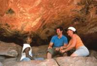
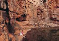
Simpsons Gap

Dampier Archipelago

Leeman

Mt Whaleback

Mines de Newman

Waddy Point

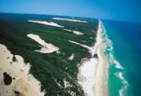
Rainbow Beach

Tin Can Bay

Lake McKenzie

Wungul Sandblow

Emerald Creek Falls

Eurimbula NP

Minerva Hills Np

Keswick Island

Springsure

Capella

Cania Gorge NP

Capricorn Caves

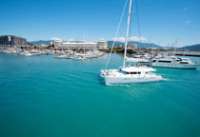
Bowen

Nebo

Brampton Island

Eungella NP


Cette île de corail est située juste sur le récif au large du Queensland, à environ 72 km au nord-est de Gladstone, soit à 2 heures de bateau ou à 30 minutes d’hélicoptère. Heron Island est une petite île recouverte d’une forêt dense, et ...

Située à 30 minutes de vol de Bundaberg et 1 h 20 de Brisbane sur la partie Sud de la Grande Barrière de Corail, Lady Elliot Island est une île corallienne réputée pour la richesse de ses récifs et la présence des majestueuses raies manta et tortues. Lady Elliot Island Eco Resort propose des hébergements les pieds dans ...
Mon Repos

Agnes Water

Town of 1770

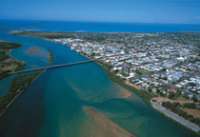
Gladstone

Rockampton

Yeppoon

Blackdown Tableland NP

Hamilton Island

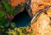
Heart Reef


Langford Island

Cape Hillsborough NP
Wallaman Falls

Hinchinbrook Island

Norman River

Burketown

Cobbold Gorge

Forsaith
Paluma Range

Little Crystal creek
Paluma Range NP

Crystal creek
Girringun NP

South Molle Island

Hells Gate

Dill Doll Rocks
Charters Towers

The Burdekin


Hidden Valley cabins & Platypus safari, est un éco-resort primé, et aussi le premier resort en Australie à s'engager pour le zéro carbone ayant recourt à l'énergie solaire à 100%. Le resort est située à 1h30 au nord-ouest de Townsville, ...
Lakefield NP

Lawn Hill NP

Constance Range
Lawn HIll Gorge

Lockhart

Horn Island

Eliott Falls

Cap York

Annan Gorge

Split Rock - Laura

Northernmost Point

Low Island

Kuranda

Green Island

Bloomfield Falls

Daintree National Park

Cape Bedford

Wooroonooran NP

Rafting - Tully River

Dunk Island

Bloomfield Track

Mossman Gorge

Cooktown

Cape Tribulation

Undara Volcanic NP

Atherton Tableland

Zillie Falls
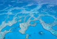
Survol de la Grande Barriere

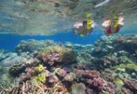
Agincourt Reef

Wolfe Creek Meteorite

Scarborough

Freemantle

Lake Ballard

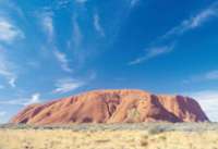
Kata Tjuta - Monts Olga


Yourambulla

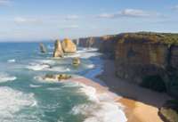
The twelve apostles

Coorong

Naaracoorte

Robe

Coonawarra

Mt Gambier

Great Otway National Park

Torquay

La plage de Bells beach à Torquay
Warrnambool

Port Fairy

Seals Bay

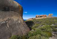
Ramarkable Rocks

Kelly Hill

Little Sahara

Penneshaw

Lac Eyre

Leafy Seadragon

Snelling beach

Adelaide Hills

Murray River

Wilpena Pound

Leigh Creek

Arkaroola

William Creek

The Breakaways

Painted Desert

Simpson Desert

Strzelecki Track

Oodnadatta

Lake Gairdner

The Great Australian Bight

La Grande Baie australienne
Gawler Ranges

Ceduna

Hopkins Island

Nager avec les Lions de mer à Hopkins Island
Nullarbour Highway

Innes National Park

Mt Baw Baw

Ninety Mile Beach

Lakes Entrance

Croajingolong National Park

Walhalla

Yarra Valley

Dandenong Ranges

Lake Daylesford

Shepherds

Ferme de Lavande à Shepherds
Goldfields

Ballarat

Bendigo

Albury

Lake Mulwala

Murray River

Alpine National Park

Mt Hotham

Lake Jindabyne

Beechworth

Kosciusco - Alpine Way

Eden

Cape Conran

Pambulla

Tomakin

La Sapphire coast

Kangaroo Valley

Hunter Valley

Port Stephens

Grand Pacific Drive

Dorrigo National Park

Coffs Harbour

Wollemi National Park

Myall Lakes National Park

Mutawintji National Park

Menindee Lakes

Mungo National Park

Silverton

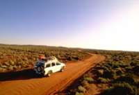
Arltunga Tourist Drive


Litchfield National Park

Mary River National Park

Tiwi Islands

Mataranka

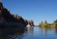
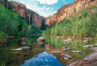
Nourlangie Rock

Ubirr Rock

Gunlom Falls

Barramundie Gorge

Twin Falls

Jim Jim Falls

Yellow Waters

17 Mile Falls - Tjabula Trail

Douglas River - Daly River

Timber Creek

Keep River National Park

Injalak Hill - Gunbalanya

Cobourg Peninsula

Black Point
Garig Gunak Barlu National Park

Découvrez, en 3 jours, des lieux hors des sentiers battus, où la présence aborigène remonte à plus de 50 000 ans, lieu où vous échappez aux pressions de la civilisation.
Fogg Dam

Devil’s Marbles

Palm Valley - Finke gorge National Park

Rainbow Valley

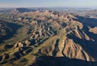
West MacDonnel Ranges

East MacDonnel Ranges

Barrière à Dingo

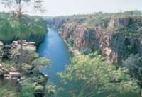
Ormiston Gorge

Trephina Gorge

Glenn Helen Gorge

Mt Connor


Port Denison

The Stromatolites - Hamelin pool

Busselton Jetty

Whale Watching à Busselton

Forêt de karris - Boranup forest

Sugarloaf Rock

Bibbulmun Track - Albany

La côte d’Albany

Fitzgerald River National Park

La plage de Quoins Head
Leeuwing Naturalist National Park

La plage de Redgate Beach
D’Entrecasteaux National Park

La plage de Mandalay
Valley of the Giants

Tree top Walk
Cape Le Grand National Park

William Bay National Park

Kookynie

Laverton

Leonora

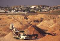
Kalgoorlie

Goldfields

Cape Le Grand National Park

Thistle cove
Conto Springs Beach

Striling National Park

Bluff Knoll Walk
Mount Ragged - Cap Arid National Park

Mount Barren - Fitzgerald River National Park

Lake Cave - Mammoth Cave

Dunes - Fitzgerald River National Park

Greenbushes

Willian Bay National Park

Fitzgerald River National Park

Bunbury

Cape Leeuwin

Mount Barker

Cape Range National Park

Yardie Creek
Cape Range National Park

Shothole Canyon
Muiron Islands

Shell Beach - Shark Bay

François Peron National Park - Shark Bay

Bottle Bay
François Peron National Park - Shark Bay

Big Lagoon
Kalbarri National Park

Kalbarri National Park

Eagle gorge coastline
Kalbarri National Park

Hawk’s Head look out
Kalbarri National Park

Look Out Ross Graham

Hutt River Province

Lancelin

Port Denison

Dunes de Lancelin

Jurien Bay Marine Park

Yanchep National Park


Rottnest Island

Swan Valley

Coolie

Waves Rock - Hyden

Bingara

Cowra

Port Macquarie

Crowdy Bay National Park

Diamond Head
Bourke

North Bourke Bridge 1880.
Murgon

Bunya Mountains NP

South Burnett

Maryborough

Caloundra

Mapleton Forest

Montville

Maleny

Glass House Mountains

Hervey Bay

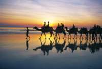
Ferme de chameaux

Springbrook NP

Lamington NP

Stradbroke Island

Stradbroke Island

Moreton Island

Moreton Island

Paturages - Flinders island

The docks - Flinders Island

Trouser Point

Mt Lot

Stanley

Queenstown

Derwent River

Strahan

Lake St clair

Overland Track

Burnie

Cataract Gorge

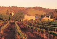
Tamar Valley

Bay of Fires

Bridestowe Estate

St Helens

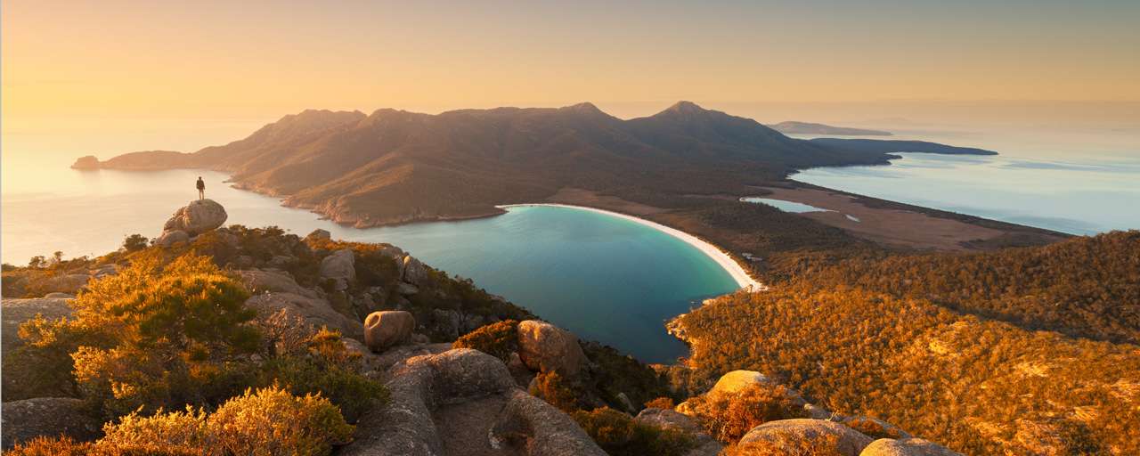
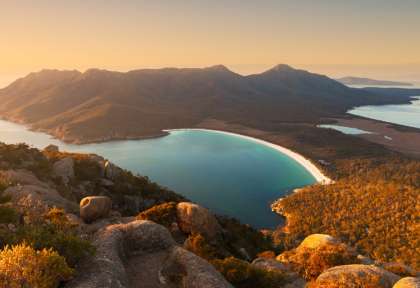
Freycinet NP

Bicheno

Maria Island

Mt Field NP

Huon Valley

Bruny Island

Mt Wellington

Tasman Peninsula

Port Arthur


Mona Museum

Coolangatta

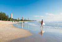
Surfer paradise

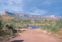
Osmond Ranges

Dimond Gorge - Fitzroy River

Mitchell Falls

Horizontal waterfall

Bell Gorge


Maning Gorge

Windjana Gorge NP

Tunnel Creek

China Wall - Halls Creek

Geikie Gorge

Pentecost River

Cockburn Range

Emma Gorge

Lake Argyle

Cape Leveque

Montebello Islands

Mt Bruce

Millstream-Chichester NP

Python Pool
Karijini NP

Fern Pool
80 Mile Beach

Millestream Chichester NP

Requin Baleine

Lighthouse Bay

Beagle Bay

TIlba Tilba

Gipsy Point

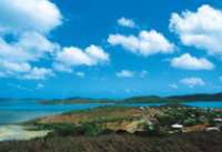
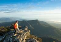
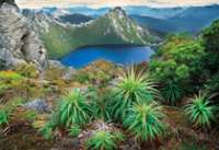
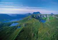
Découvrir la Tasmanie
Le seul État insulaire et aussi le plus petit d’Australie, l’île sauvage de Tasmanie est devenue une destination vacances incontournable. Classée au Patrimoine mondial de l’UNESCO comme zone de nature sauvage de Tasmanie, c’est une destination unique pour sa flore préservée, et ses nombreuses ... (lire la suite)